
Camino de Costa Rica
April 15-28, 2024
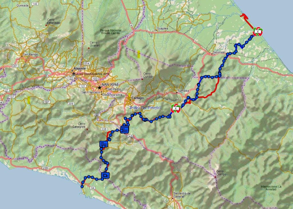
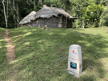
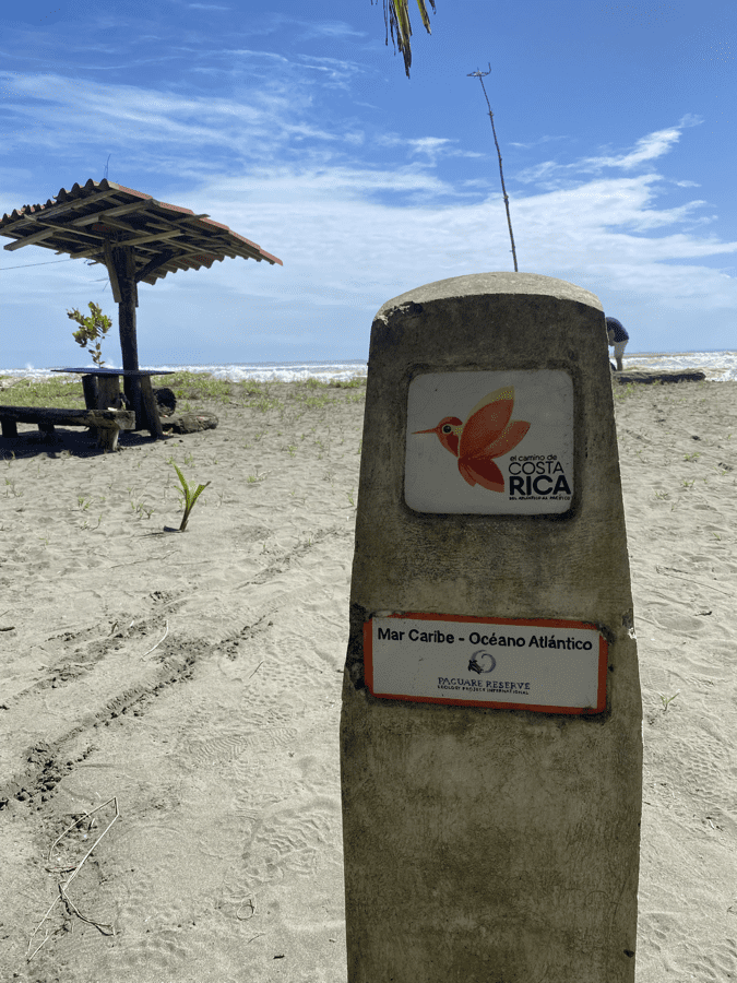
The Camino de Costa Rica is a 175 mile (280 km) path of primarily dirt roads with some single track trails and asphalt roads that spans Costa Rica from the Caribbean to the Pacific Coasts. It is broken up into 16 stages. I completed the Camino de Costa Rica in 14 days from April 15 to April 28, 2024. In the following blog posts, you can find my thoughts and observations when preparing for and completing the walk. I joined a group with Urri Trek, the leader in organizing and guiding these trips. The blue line on the left is the route we took as recorded by my Garmin device. There is now a map of the Camino de Costa Rica in the Far Out app. If it is as rich in detail as the Far Out maps for the Pacific Crest Trail, it will be well worth the price to purchase the map whether you are walking the Camino guided or self-guided.
Camino de Costa Rica – Day 6
Pejibaye – Río Macho (25km) 14.7 miles. 4200 feet elevation gain. Camino section 8 and…
Camino de Costa Rica – Day 5
La Suiza – Pejibaye (18km) 13.4 miles 1800 feet elevation gain Camino section 7 and…
Camino de Costa Rica – Day 4
Tres Equis – La Suiza (21km/ 12miles. 2400 feet elevation). Camino sections 5 & 6…
Camino de Costa Rica – Day 3
Las Brisas – Tres Equis (20 km – 11 miles 3,000ft elevation gain). Camino section…
Camino de Costa Rica – Day 2
Cimarrones – Las Brisas (18 km) 9.6 miles. 2800 ft elevation gain. Camino section 2…
Camino de Costa Rica – Day 1
Goshen Dock – Cimarrones (25km). 17 miles. I recorded1300 feet elevation gain, but that seemed…
Camino de Costa Rica – Day 0
Today we traveled from San Jose over the mountains and down to the Caribbean coast….
Camino de Costa Rica – Travel Day
Yesterday was a long day of travel. Wake-up at 4:15 for the drive to the…