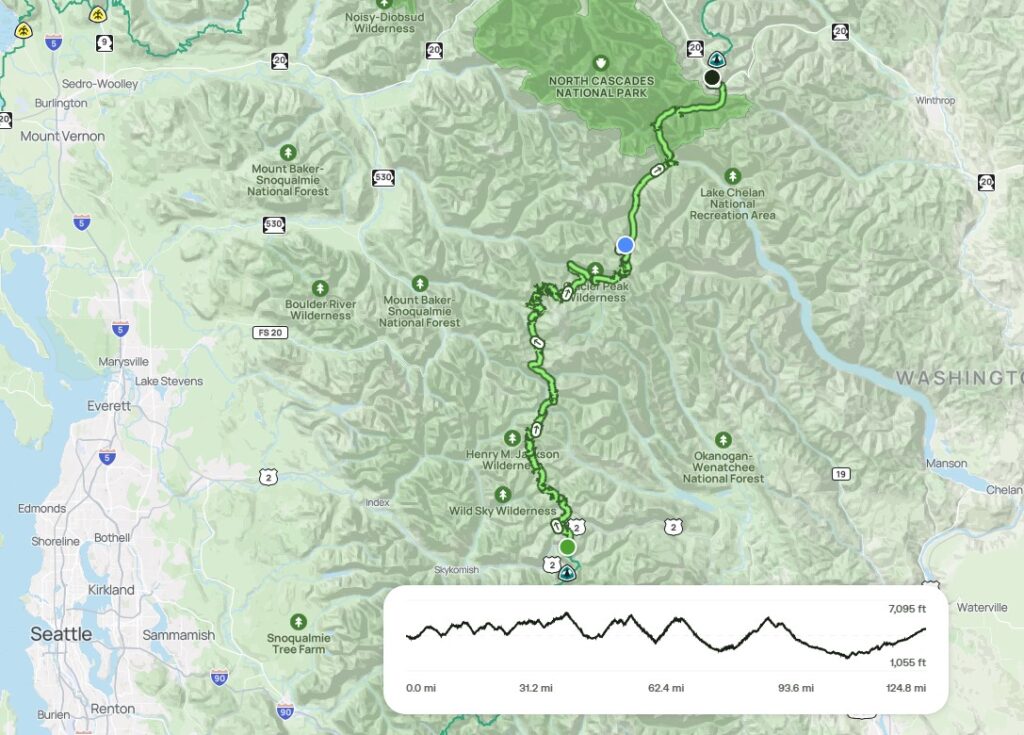
Section K southbound: 127 miles, Elevation gain/loss +29,023/-28,682 ft. July 14-21, 2026
My friend Chris joined me on this section. Given the distance and elevation, we had knew it was going to be challenging. We’d need to carry enough food to complete the section without resupply because the sole convenient resupply point was just 19 miles from Rainy Pass, the northern trailhead. I read various trip reports and resources and like the other sections of the Washington PCT, found “Hiking the Pacific Crest Trail: Washington” by Tami Asars to be a valuable general resource, complete with suggested itineraries of between 6 and 13 days. I also monitored the PCT Washington Facebook page and PCTWashington.com website for reports on current conditions, and consulted the PCT interactive map to see the latest satellite photos of the trail as a way to monitor snowpack on the trail. . By time we started we knew that snow along the trail would be minimal, but had only seen sporadic reports from people who had traveled part of the section. Those reports all identified significant impacts to this section of the trail from this past winter’s storms. We knew that these conditions would add to the challenges we would face. My original plan was to spend 7 days on trail, but we quickly added a day to reduce the average daily mileage and elevation gain. With 8 days, we needed to average about 16 miles and slightly less than 4,000 of vertical gain each day. After the first couple of days on the trail and talking to some north bound hikers, we started to discuss options for extending our trip by a day. As it turned out, we did not need the extra day.
Day 1: 14.3 miles +1,069/-3,810 ft. Rainy Pass to Bridge Creek Campground
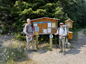
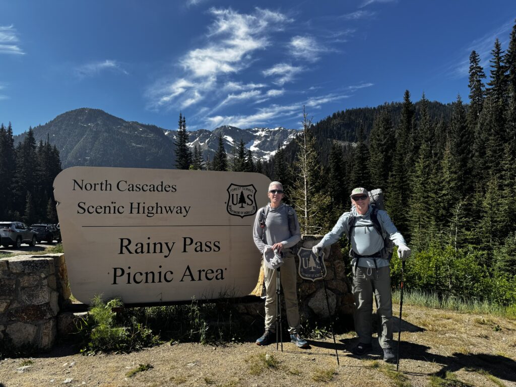
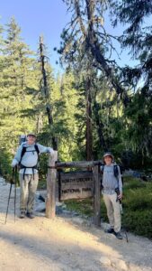
We left Seattle early on a Tuesday morning for the 3.5 hour drive up to Rainy Pass. Angie dropped us off at the trailhead a little after 10:00 am. She then returned to Seattle, while Chris and I made our way down Bridge Creek Canyon to our first night’s campsite. This portion of the PCT is within North Cascades National Park where permits are required for overnight camping in the backcountry. We were able to get an advance permit through recreation.gov about a month in advance. It appears that the NPS saves a fair number of permits for walk-ups as we got the last advance issue permit, but we were the only permit holders in the campsite that had room for 3 to 4 small groups. After the first day, we left the National Park and were free to camp where we pleased, though Leave No Trace principles limit camping to established campsites and hard durable surfaces.
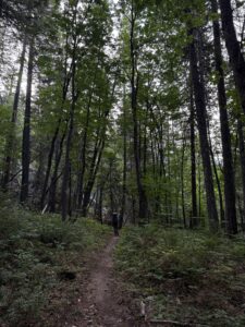
I was expecting the first day’s hike to be pretty easy and thought we’d make good time because the trail was mostly downhill. The trail was in good shape with evidence of recent tree clearing and trail work. For the first 6 miles or so the trail traveled through forest, which kept the temperature pretty comfortable. The trail eventually left the forest and generally followed the contour of the hillside descending into the valley. This portion of the trail is on a southern exposure. As a result, as the trail descended and the afternoon wore on, the temperature warmed up quite a bit. We also missed a short side trail that lead down to a planned water stop resulting in several miles where we were low on water. I was very happy to get to Maple Creek, where we filled up on cold water, crossed over the suspension bridge, and rested in the shade for a bit.
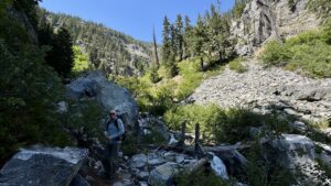
As the afternoon wore on, I could feel my energy draining away and our pace slowed. By the time we arrived at the Bridge Creek campground at around 5:30 pm, I was hot and tired and surprised at just how much uphill there had been. When seeing that we had ascended just a little over 1,000 feet, I wondered how I would fare in the coming days when there was much more ascending to do.
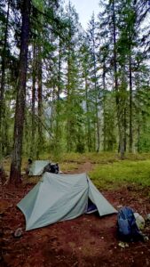
In our haste to get our tents set up, we misread a posted map of the campground and thought that other people were already occupying the available individual campsites, so we found space in the group camping area and pitched our tents. It was only after our tents were pitched and we were refilling our water bottles that I saw that the people already camped were not in the reservable campsite, but in a space designated for long distance PCT through hikers. I also found the reservable campsites were accessible from just across the stream running through the campsite. We were too tired to move our tents, but we did use a picnic table at the campsite to prepare our meals and stored our food in the adjacent bear box. In talking to people the next day, I learned that it was in the low 90s (Fahrenheit) in Stehekin (a small village at the north end of Lake Chelan), which is the closest weather reporting location to our campsite. We were a little higher in elevation than Stehekin so I suspect our temperatures were in the mid to upper 80s, which is about 10-20 degrees hotter than my preferred hiking weather. It was a warm night for sleeping.
Day 2: 14.5 miles +2,871/-2,105 ft. Bridge Creek to Cedar Camp
The morning was cool and pleasant. We woke early as the sky lightened before sunrise and shared our granola and coffee at the campsite picnic table with a deer who wasn’t too keen on being displaced from the greenery it was eating. It was not long before the coolness disappeared and things started to warm up. We made it to the ranger station at High Bridge by about 8:10 and enjoyed a short conversation with the volunteer stationed there and several PCT through hikers who arrived shortly after us and who were planning to take the 11 mile scheduled bus ride down to Stehekin at 9:00 am. We were in good spirits having completed the first 5 miles of the day’s hike before 9:00 am.
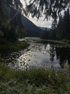
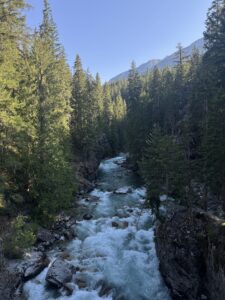
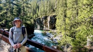
The views of the Stehikin river from High Bridge were impressive. I was glad for the bridge because the crossing the river without it would not have been possible. After crossing the Stehikin river, the trail followed the Agnes creek watershed and steadily ascended that valley. The trail was in good shape. Access to water was more plentiful than the day before, and we made slow progress throughout the morning and afternoon. The trail also became a little more wild as trail maintenance crews had only ventured 5-6 miles beyond High Bridge. We had heard reports of many tree blowdowns blocking the trail resulting in slowing progress and were curious to see how it would affect our hiking. The temperature rose as the day progress and by the time we arrived at our planned campsite in mid afternoon, we had just started to run across trail obstacles and we unanimously decided that we didn’t want to hike another 3 miles to the next campsite. After setting up our tents we enjoyed soaking our feet in the cold river water. It was just what I needed.
In the late afternoon, the wind increased and we heard several claps of thunder(later learning that lightening from this storm likely started a fire or two). There might have also been a few drops of rain, but it was very short lived and was not enough to even see rain drips on our tents or the ground. Unlike the night before where stars were visible through the tree canopy, it was very dark. There was no moonlight and the clouds blocked whatever starlight would have been present.
Day 3: 13.1 miles +3,903/-2,281 ft. Cedar Camp to Upper Miners Creek
We again woke early (this would become a pattern) and broke camp in about an hour. I found that I really enjoyed early morning hiking as the air was cool and the lighting soft. We had a bit of cloud cover in the morning but enjoyed blue skies for most of the day.
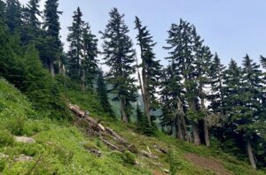
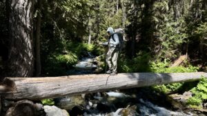
We also encountered our first section of overgrown trail. We had to slow our pace a bit because it was often difficult to see the trail and pick out rocks and other obstacles through the vegetation. When the overgrown brush was on the side of the hill, extra care was needed to make sure that the trail hadn’t washed out from under the brush. It also wasn’t long before we started to encounter downed trees. While some were easy enough to step over, others required climbing over, walking off trail and around the tree, or ducking/crawling under the tree. As Chris described it; each obstaclein the trail was like a little puzzle that needed to be solved. I found that added effort of figuring out how to get past down trees while ascending the trail often required a rest or recovery period to catch my breath.
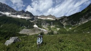
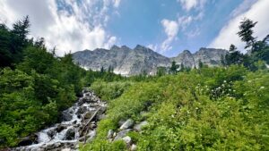
It took us a couple hours in the morning to get to the campsite we had briefly considered going to the day before and we were both happy that we hadn’t tried to make it to that campsite the prior afternoon as the trail was often exposed to the sun. It would have been much less enjoyable to walk that bit in the hot afternoon sun. The trail crossed the South Fork Agnes Creek at that campsite, but the path wasn’t obvious. After scouting around a bit and consulting our maps, we saw the trail on the other side of the river and then located a log jam that looked like the best way to cross the river. We slowly picked our way across several logs and then continued our steady assent up the valley towards Cloudy and then Suiattle Pass.
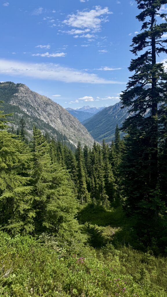
It was slow going, but the forest and views were beautiful. I think we saw just two people going the opposite direction until we reached the top of the Pass. It started to sprinkle just as we reached the high point, but it didn’t rain very hard or for very long. It was actually nice to have both the cloud cover and the little bit of rain as it helped keep us cool. We caught up with a through hiker we had meet the day before and learned we were both headed for a campsite at upper Miners Creek. It was several miles down the trail and across several more downed trees and was a relief to see that the campsite was large enough to fit several tents. Since we liked to get an early start and also went to bed pretty early, we found a spot that was a ways away from the main campsite and set up our tents.
While our mileage had been relatively modest for the day, we both agreed not to try to go any further for the day as we were both tired from the day’s activity. It was at this point I began to wonder if we’d need more time to finish the hike. I was finding the hiking much harder than the prior years, which I attributed to both my and the trail’s condition) and knew that we had at least two more days of trails with a lot of obstacles. We had finished the first three days, which I had planned to ease us into longer days while we were carrying more food. But instead of feeling like we were easing into the hike, I had been exhausted at the end of each day. I went to sleep thinking about the days ahead and how important it would be to stay focused on the trail to avoid injury.
Day 4: 17.6 miles +3,986/-2,758 ft. Upper Miners Creek to Dolly Vista Trail Camp
Today involved navigating hundreds (no exaggeration) of downed trees on our descent down Miners creek and down the Suiattle River to bridge over the river and then a relatively obstacle free walk up the valley until the ascent up Vista Ridge. This ascent up Vista Ridge was by far the most difficult section of blowdowns for us. Not only were we ascending up the trail, but the piles of downed trees were large and difficult to navigate. I had to take my pack off to crawl under one tangle of trees and there were multiple large piles that required a combination of climbing, log walking, and clambering up and/or down the mountainside. And in general, I think that navigating the downed trees was easier for long-legged people, though shorter people had the advantage when going under was the only option.
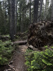
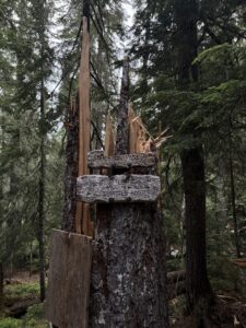
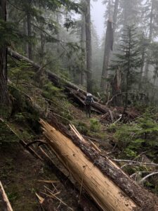
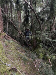
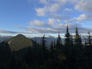
Thankfully, we met a northbound hiker as we were starting our last two mile climb up Vista Ridge who told us that there was water available near our planned campsite. We thought the the camp was dry so had loaded up with enough water to get through dinner and breakfast the next morning. With some assurance that we’d find water, we dumped some of our carried water to lighten our load. We arrived at our planned campsite very tired, set up our tents and then walked the short distance to collect some additional water. The skies were mostly clear in the late afternoon and early evening and we enjoyed the great views from the campsite. We didn’t have a direct view of the sunset, but I enjoyed watching the changing light on the mountains to the north. I was looking forward to watching the sunrise, but clouds moved in overnight and there was no visible sunrise the next morning.
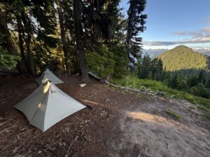
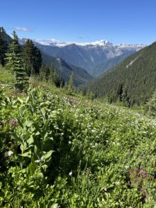
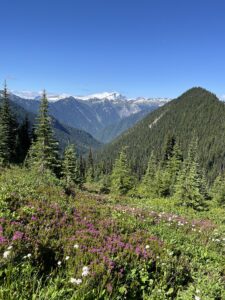
Day 5: 13.7 miles +3,432/-3,888 ft. Dolly Vista Trail Camp to Fire Creek
We were cautiously optimistic that we were now through the worst of the blow-downs. This turned out to be correct with the operative word being “the worst of the blow-downs.” We weren’t completely free of blowdowns by any means as they remained a common obstacle until the last 6-8 miles of this section. We had also heard that this section of trail was massively overgrown with brush on the mountain sides on the way down to and back up from Milk Creek. We anticipated that this would be the major obstacle for the day. That definitely proved to be the case although there were still several large blowdown piles to navigate through on our descent. One large pile of blowdowns led us astray when we thought we had located the trail switching back at the bottom of the the tangle of trees, but in reality, the trail continued on straight. We ended up on an old trail that slowly petered out before dumping us out at the banks of the Milk River, far above where we were supposed to be. After exploring whether it would be possible to walk down the river bank (it wasn’t)and consulting maps we reluctantly decided the safest path was to retrace our steps back to the trail and to try to find where we’d made a wrong turn.
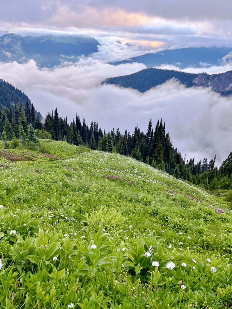
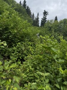
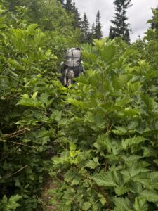
As we were just starting to retrace our steps, two other hikers arrived who had also taken the same wrong turn. They decided to rock hop across the river and then bushwhack their way up to the trail on the other side of the valley. It looked like it should be doable from where we were , but we couldn’t tell for sure and we did not want to find ourselves in a worse spot. As it turned out we made it back to the trail, then hiked the 3/4 mile or so down to the bridge and back up the other side and were sitting on the trail taking a break when the other two hikers caught back up to us.
After leaving Milk Creek basin we left the tree cover and made our way up to Mica Lake and over Fire Pass before descending to our campsite at Fire Creek. It was mostly cloudy all day and we knew we were missing out on some very pretty views. We saw very few people today and were the only ones at our campsite.
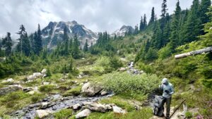
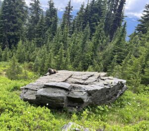
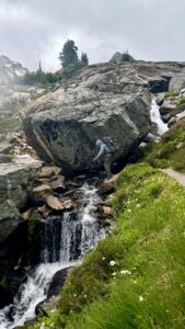
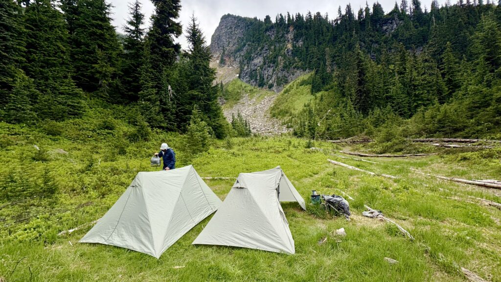
When I awoke in the middle of the night, I was happy to see a star-filled sky, but surprised that the inside of my tent’s rainfly was very wet. I’d never had this happen before, but as the night got colder (and it got pretty cold), the moisture on the inside of the rain fly increased. I’m not sure exactly what caused this, but it seems like moisture leaving the ground condensed when it reached the rain fly.
Day 6: 15.9 miles +4,146/-3,527 ft. Fire Creek to White Pass

Today was scheduled to be the day with the most elevation gain so I was happy to get an early start. I wasn’t so happy to pack up a wet tent. And it wasn’t long before my legs and feet were soon soaking wet from brushing up against the moisture laden vegetation growing along the trail. While my pants dried out soon enough, my feet stayed wet for most of the day.
For the most part, the Pacific Crest Trail, which is designed to be both a stock and hiker trail has a relatively modest grade. There are sections that are not suitable for horses and this was definitely a people only section. The PCT trail grade seems to often peak at 400 to 500 vertical feet per mile which results in generally modest grades, but the ascent up the north side of Red Pass is around 650 feet per mile. I could really feel the steepness of the trail and was sufficiently humbled when a young PCT through hiker from France came blazing by us while we were stopped to water.

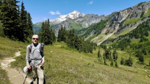

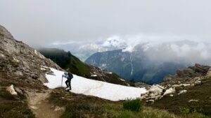
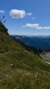
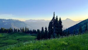
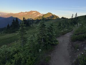
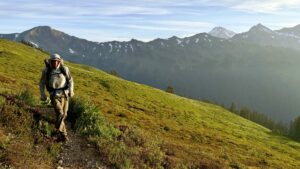
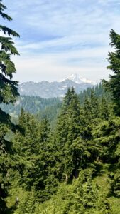
Red Pass is the highest point along this section of the PCT at approximately 6,500 feet. We had great views of Glacier Peak and surrounding mountains, including a glimpse of Mr. Rainier far to the south. I had begun to wonder if we would entirely miss the views of Glacier Peak after having a couple days of cloudy weather, and was glad that we traveled through this area on a clear day. From Red Pass, the trail descended gradually to White Pass, where we camped for the night. There is also a trail junction to the North Fork Sauk River trail that is pretty heavily traveled on summer weekends. We crossed this area on a Sunday and saw several groups of trail runners and multiple groups of overnight or short term backpackers. We found a nice campsite on the ridge of White Pass and I enjoyed watching the sunset, though it was difficult to stay awake that late!
Day 7: 19.4 miles +3,580/-4,589 ft. White Pass to Pear Lake
We had seen wildfire smoke off in the distance the prior afternoon and sometime in the night the wind picked up bringing the smell of wildfire smoke with it. In addition to the smell of smoke the wind was strong enough to blow the fine loose dust of the campsite under my rainfly and into my tent. I spent a few sleepless hours listening to my tent flap in the wind and feeling the grit of the fine dirt on my eyes and gear. It wasn’t pleasant. As soon as it started to get light enough to see, Chris and I decided to pack up and walk down the trail until we found a place out of the wind to have breakfast.
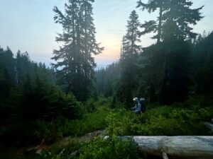
The early morning hiking was so pretty. Once again the early morning hiking was my favorite of the day.
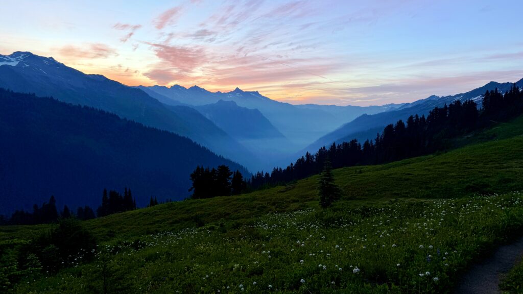
This was our longest day of hiking. We covered a lot of ground and had some generally nice views although the smoky air was not as clear as the day before.
We arrived at Pear Lake in the late afternoon. It was nice to relax by the lake, soak my feet and do a little cleaning up. We were only ones at the campsite until evening when first a solo through-hiker arrived and set up her tent next to ours. She was followed 10-15 minutes later by a party of 3 people who noisily set up their tents a little further away at the few remaining tent sites that were not very level.
Day 8: 18.5 miles +3,749/-4,522 ft. Pear Lake to Stevens Pass
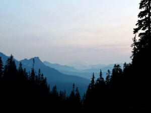
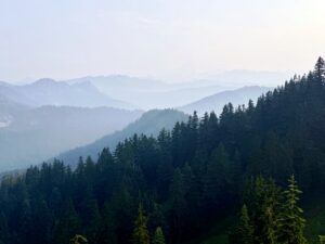
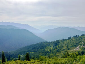
We planned to get a slightly earlier start than normal in order to give ourselves time to finish by mid-afternoon so that we could make the 2+ hour drive back to Seattle and have time for showers and a little clean up before dinner. With the arrival of other campers in the evening, we just packed up and hiked a bit before stopping for breakfast. It was pretty smokey today so our last views of Glacier Peak were obscured through layers of orange brown smoke. The trail became better maintained the closer we got to Stevens Pass though there were still several large blow down trees that we had to navigate early in the day. As we descended in altitude the temperature again warmed up. The last couple of hours were particularly warm.
We were happy to arrive at the trailhead at just about the same time as Angie arrived to pick us up. It definitely felt warm, but I was surprised to see temperature was 89 degrees at Stevens Pass. I was very happy to get into an air conditioned car with cushioned seats, and thoroughly enjoyed the deli sandwiches, chips and guacamole and ice cold lime-aide that Angie pulled out of the cooler. It was a great way to complete my last section of the Washington Pacific Crest Trail.